
Tunç Dağı topographic map
Interactive map
Click on the map to display elevation.
About this map
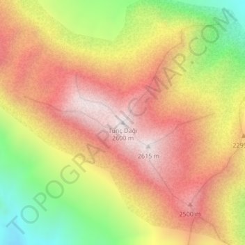
Name: Tunç Dağı topographic map, elevation, terrain.
Location: Tunç Dağı, Konyaaltı, Antalya, Mittelmeerregion, Türkei (36.79828 30.37844 36.79838 30.37854)
Average elevation: 7,290 ft
Minimum elevation: 5,492 ft
Maximum elevation: 8,658 ft