
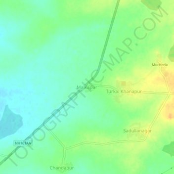
Malkapur topographic map
Interactive map
Click on the map to display elevation.
About this map
Name: Malkapur topographic map, elevation, terrain.
Average elevation: 1,693 ft
Minimum elevation: 1,650 ft
Maximum elevation: 1,752 ft
Other topographic maps
Click on a map to view its topography, its elevation and its terrain.
Palapnoor
India > Telangana > Hathnoora mandal
Palapnoor, Hathnoora mandal, Sangareddy, Telangana, 502296, India
Average elevation: 1,654 ft