
Pangui topographic map
Interactive map
Click on the map to display elevation.
About this map
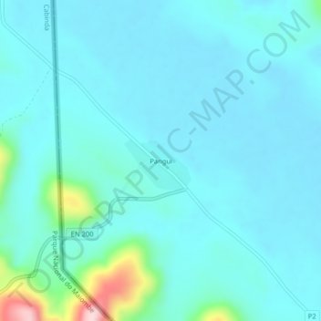
Name: Pangui topographic map, elevation, terrain.
Location: Pangui, Niari Department, Congo-Brazzaville (-4.46848 12.89440 -4.42848 12.93440)
Average elevation: 1,293 ft
Minimum elevation: 1,178 ft
Maximum elevation: 2,073 ft
Other topographic maps
Click on a map to view its topography, its elevation and its terrain.
Mossendjo
Congo-Brazzaville > Niari Department
Mossendjo, Niari Department, Congo-Brazzaville
Average elevation: 1,467 ft