
Steenkerke topographic map
Interactive map
Click on the map to display elevation.
About this map
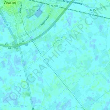
Name: Steenkerke topographic map, elevation, terrain.
Location: Steenkerke, Furnes, Flandre-Occidentale, Belgique (51.03255 2.65587 51.07294 2.72105)
Average elevation: 7 ft
Minimum elevation: -16 ft
Maximum elevation: 23 ft
Other topographic maps
Click on a map to view its topography, its elevation and its terrain.
Veurne
Belgique > Flandre-Occidentale > Furnes > Furnes
Veurne, Furnes, Flandre-Occidentale, Flandre, Belgique
Average elevation: 7 ft