
Haaldersbroek topographic map
Interactive map
Click on the map to display elevation.
About this map
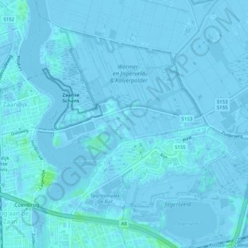
Name: Haaldersbroek topographic map, elevation, terrain.
Location: Haaldersbroek, Zaandam, Zaanstad, Noord-Holland, Nederland (52.47058 4.82617 52.47377 4.83007)
Average elevation: 0 ft
Minimum elevation: -20 ft
Maximum elevation: 26 ft