
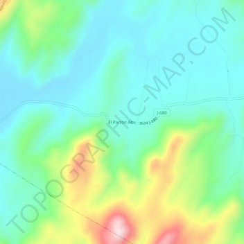
El Parrón Alto topographic map
Interactive map
Click on the map to display elevation.
About this map
Name: El Parrón Alto topographic map, elevation, terrain.
Average elevation: 738 ft
Minimum elevation: 410 ft
Maximum elevation: 1,627 ft
Other topographic maps
Click on a map to view its topography, its elevation and its terrain.
Alto Huilquilemu
Chile > Región del Maule > Provincia de Curicó > Rauco
Alto Huilquilemu, Rauco, Provincia de Curicó, Región del Maule, Chile
Average elevation: 1,362 ft