
Nijeberkoop topographic map
Interactive map
Click on the map to display elevation.
About this map
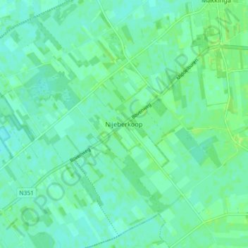
Name: Nijeberkoop topographic map, elevation, terrain.
Location: Nijeberkoop, Ooststellingwerf, Friesland, Nederland (52.93702 6.14569 52.98056 6.21777)
Average elevation: 13 ft
Minimum elevation: 0 ft
Maximum elevation: 30 ft