
Nieuwe Niedorp topographic map
Interactive map
Click on the map to display elevation.
About this map
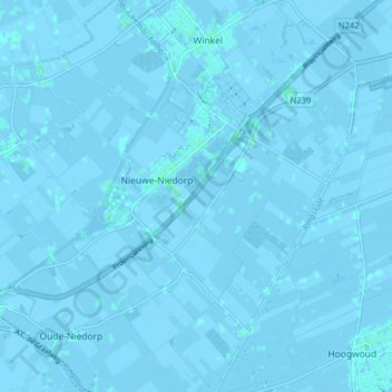
Name: Nieuwe Niedorp topographic map, elevation, terrain.
Location: Nieuwe Niedorp, Hollands Kroon, Noord-Holland, Nederland (52.71163 4.86419 52.75944 4.92736)
Average elevation: -3 ft
Minimum elevation: -13 ft
Maximum elevation: 10 ft
Other topographic maps
Click on a map to view its topography, its elevation and its terrain.
Wieringerwaard
Nederland > Noord-Holland > Hollands Kroon
Wieringerwaard, Hollands Kroon, Noord-Holland, Nederland
Average elevation: -7 ft
Barsingerhorn
Nederland > Noord-Holland > Hollands Kroon
Barsingerhorn, Hollands Kroon, Noord-Holland, Nederland
Average elevation: -3 ft
't Veld
Nederland > Noord-Holland > Hollands Kroon > 't Veld
't Veld, Hollands Kroon, Noord-Holland, Nederland
Average elevation: -3 ft
Zijdewind
Nederland > Noord-Holland > Hollands Kroon > Zijdewind
Zijdewind, Hollands Kroon, Noord-Holland, Nederland
Average elevation: -3 ft
Wieringerwerf
Nederland > Noord-Holland > Hollands Kroon > Wieringerwerf
Wieringerwerf, Hollands Kroon, Noord-Holland, Nederland, 1771, Nederland
Average elevation: -13 ft