
Sunray topographic map
Interactive map
Click on the map to display elevation.
About this map
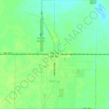
Name: Sunray topographic map, elevation, terrain.
Location: Sunray, Moore County, Texas, United States of America (36.00930 -101.83775 36.03832 -101.81093)
Average elevation: 3,501 ft
Minimum elevation: 3,474 ft
Maximum elevation: 3,520 ft