
滹沱河 topographic map
Interactive map
Click on the map to display elevation.
About this map
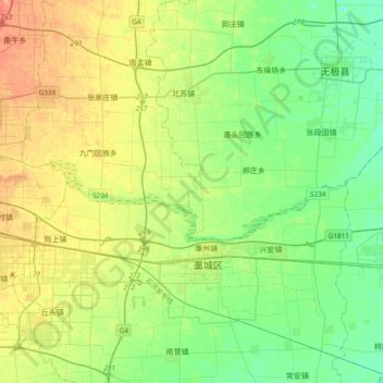
Name: 滹沱河 topographic map, elevation, terrain.
Location: 滹沱河, 藁城区, 石家庄市, 中国 (38.04209 114.64371 38.11681 115.02136)
Average elevation: 180 ft
Minimum elevation: 131 ft
Maximum elevation: 249 ft