
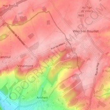
Les Hadrennes topographic map
Interactive map
Click on the map to display elevation.
About this map
Name: Les Hadrennes topographic map, elevation, terrain.
Location: Les Hadrennes, Wanze, Liège, Wallonie, 4520, Belgique (50.54664 5.22329 50.58664 5.26329)
Average elevation: 564 ft
Minimum elevation: 243 ft
Maximum elevation: 676 ft