
Ola topographic map
Interactive map
Click on the map to display elevation.
About this map
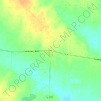
Name: Ola topographic map, elevation, terrain.
Location: Ola, Kaufman County, Texas, United States of America (32.55541 -96.19553 32.59541 -96.15553)
Average elevation: 466 ft
Minimum elevation: 410 ft
Maximum elevation: 528 ft