
Playa Lampay topographic map
Interactive map
Click on the map to display elevation.
About this map
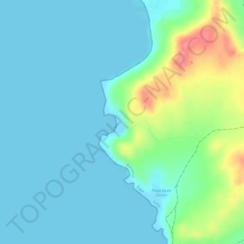
Name: Playa Lampay topographic map, elevation, terrain.
Average elevation: 69 ft
Minimum elevation: 0 ft
Maximum elevation: 292 ft
Other topographic maps
Click on a map to view its topography, its elevation and its terrain.
Ciudad Sagrada de Caral-Supe
Ciudad Sagrada de Caral-Supe, Caral, Supe, Provincia de Barranca, Lima, Perú
Average elevation: 1,289 ft