
Sungai Santubong topographic map
Interactive map
Click on the map to display elevation.
About this map
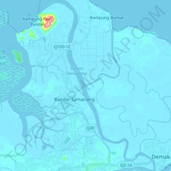
Name: Sungai Santubong topographic map, elevation, terrain.
Average elevation: 16 ft
Minimum elevation: -20 ft
Maximum elevation: 791 ft
Other topographic maps
Click on a map to view its topography, its elevation and its terrain.
Padang Merdeka
Padang Merdeka, Kuching, Kuching Division, Sarawak, 93XXX, Malaysia
Average elevation: 30 ft