
Silverhill topographic map
Interactive map
Click on the map to display elevation.
About this map
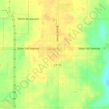
Name: Silverhill topographic map, elevation, terrain.
Location: Silverhill, Baldwin County, Alabama, United States (30.53514 -87.76125 30.55290 -87.73381)
Average elevation: 138 ft
Minimum elevation: 75 ft
Maximum elevation: 164 ft