
Knesselare topographic map
Interactive map
Click on the map to display elevation.
About this map
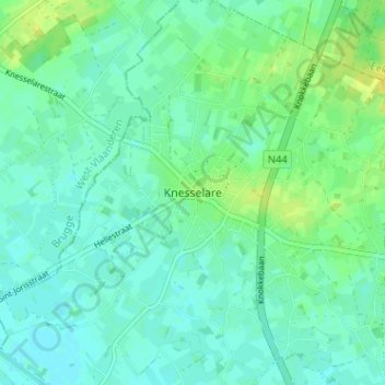
Name: Knesselare topographic map, elevation, terrain.
Location: Knesselare, Flandre orientale, Flandre, 9910, Belgique (51.11927 3.39234 51.15927 3.43234)
Average elevation: 39 ft
Minimum elevation: 20 ft
Maximum elevation: 79 ft