
Chandori topographic map
Interactive map
Click on the map to display elevation.
About this map
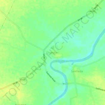
Name: Chandori topographic map, elevation, terrain.
Location: Chandori, Nashik, Maharashtra, India (20.00331 73.97912 20.04331 74.01912)
Average elevation: 1,778 ft
Minimum elevation: 1,745 ft
Maximum elevation: 1,808 ft