
Raqaypata topographic map
Interactive map
Click on the map to display elevation.
About this map
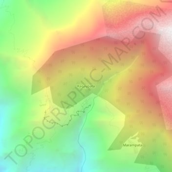
Name: Raqaypata topographic map, elevation, terrain.
Location: Raqaypata, Santa Teresa, La Convención, Cusco, Pérou (-13.40994 -72.88494 -13.36994 -72.84494)
Average elevation: 9,751 ft
Minimum elevation: 5,518 ft
Maximum elevation: 14,147 ft