
Lieving topographic map
Interactive map
Click on the map to display elevation.
About this map
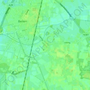
Name: Lieving topographic map, elevation, terrain.
Location: Lieving, Midden-Drenthe, Drenthe, Nederland, 9411, Nederland (52.83056 6.50898 52.87056 6.54898)
Average elevation: 49 ft
Minimum elevation: 30 ft
Maximum elevation: 62 ft