
Hisarköy topographic map
Interactive map
Click on the map to display elevation.
About this map
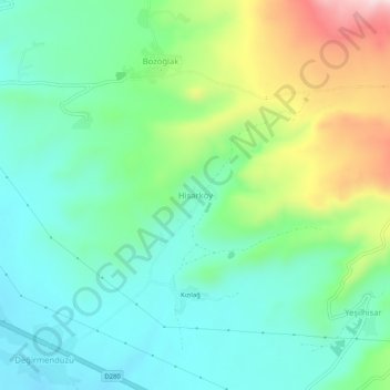
Name: Hisarköy topographic map, elevation, terrain.
Location: Hisarköy, Patnos, Ağrı, Eastern Anatolia Region, Turkey (39.20706 42.96475 39.24706 43.00475)
Average elevation: 5,988 ft
Minimum elevation: 5,659 ft
Maximum elevation: 6,768 ft