
Ghislage topographic map
Interactive map
Click on the map to display elevation.
About this map
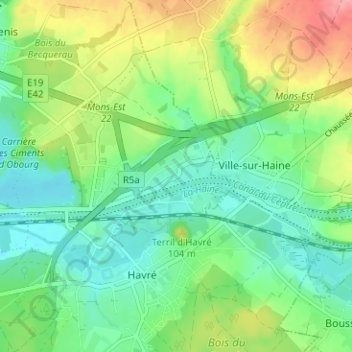
Name: Ghislage topographic map, elevation, terrain.
Location: Ghislage, Havré, Mons, Hainaut, Wallonie, 7021, Belgique (50.45556 4.03140 50.49556 4.07140)
Average elevation: 223 ft
Minimum elevation: 112 ft
Maximum elevation: 443 ft