
连然街道 topographic map
Interactive map
Click on the map to display elevation.
About this map
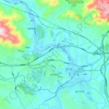
Name: 连然街道 topographic map, elevation, terrain.
Location: 连然街道, 安宁市, 昆明市, 云南省, 650300, 中国 (24.88704 102.43250 24.99005 102.54511)
Average elevation: 6,325 ft
Minimum elevation: 5,971 ft
Maximum elevation: 8,054 ft