
El Balito topographic map
Interactive map
Click on the map to display elevation.
About this map
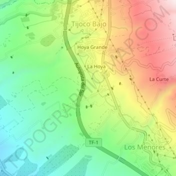
Name: El Balito topographic map, elevation, terrain.
Average elevation: 1,030 ft
Minimum elevation: 253 ft
Maximum elevation: 2,096 ft
Other topographic maps
Click on a map to view its topography, its elevation and its terrain.
El Roque
Espagne > Îles Canaries > Adeje
El Roque, Adeje, Santa Cruz de Ténérife, Îles Canaries, 38640, Espagne
Average elevation: 2,966 ft