
Başhüyük topographic map
Interactive map
Click on the map to display elevation.
About this map
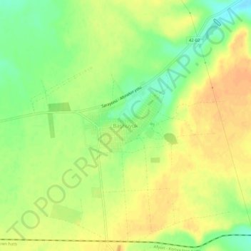
Name: Başhüyük topographic map, elevation, terrain.
Location: Başhüyük, Sarayönü, Kotajk, Zentralanatolien, Türkei (38.25543 32.45953 38.29543 32.49953)
Average elevation: 3,514 ft
Minimum elevation: 3,445 ft
Maximum elevation: 3,560 ft