
Krakow topographic map
Interactive map
Click on the map to display elevation.
About this map
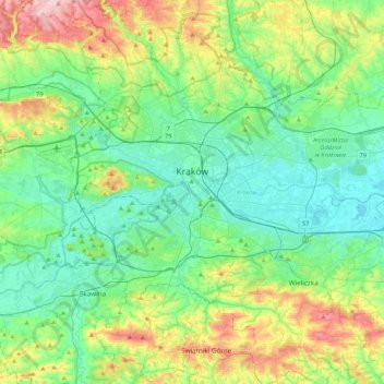
Name: Krakow topographic map, elevation, terrain.
Location: Krakow, Lesser Poland Voivodeship, Poland (49.96767 19.79224 50.12613 20.21735)
Average elevation: 863 ft
Minimum elevation: 620 ft
Maximum elevation: 1,539 ft