
Wamel topographic map
Interactive map
Click on the map to display elevation.
About this map
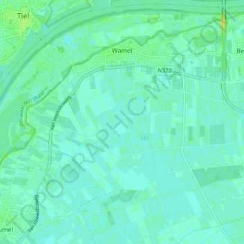
Name: Wamel topographic map, elevation, terrain.
Location: Wamel, West Maas en Waal, Geldern, Niederlande (51.84596 5.43469 51.88962 5.50782)
Average elevation: 20 ft
Minimum elevation: 3 ft
Maximum elevation: 66 ft