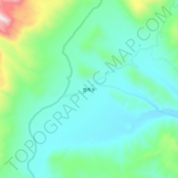
查布乡 topographic map
Interactive map
Click on the map to display elevation.
About this map
Name: 查布乡 topographic map, elevation, terrain.
Average elevation: 15,794 ft
Minimum elevation: 15,043 ft
Maximum elevation: 18,720 ft

Click on the map to display elevation.
Name: 查布乡 topographic map, elevation, terrain.
Average elevation: 15,794 ft
Minimum elevation: 15,043 ft
Maximum elevation: 18,720 ft