
Hasseberg topographic map
Interactive map
Click on the map to display elevation.
About this map
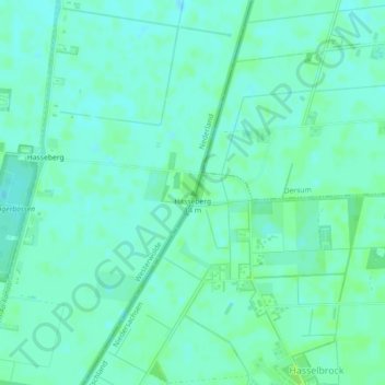
Name: Hasseberg topographic map, elevation, terrain.
Location: Hasseberg, Westerwolde, Groningen, Nederland, 9551TX, Nederland (52.94188 7.18123 52.94198 7.18133)
Average elevation: 26 ft
Minimum elevation: 13 ft
Maximum elevation: 43 ft
Other topographic maps
Click on a map to view its topography, its elevation and its terrain.
De Bult
Nederland > Groningen > Westerwolde
De Bult, Westerwolde, Groningen, Nederland
Average elevation: 49 ft
Ter Apelkanaal
Nederland > Groningen > Westerwolde
Ter Apelkanaal, Westerwolde, Groningen, Nederland, 9561NB, Nederland
Average elevation: 39 ft