
Obando topographic map
Interactive map
Click on the map to display elevation.
About this map
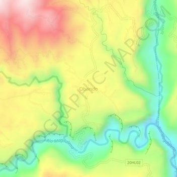
Name: Obando topographic map, elevation, terrain.
Location: Obando, San Agustín, Huila, Colombie (1.91957 -76.31819 1.95957 -76.27819)
Average elevation: 5,489 ft
Minimum elevation: 4,567 ft
Maximum elevation: 6,545 ft