
Casitas topographic map
Interactive map
Click on the map to display elevation.
About this map
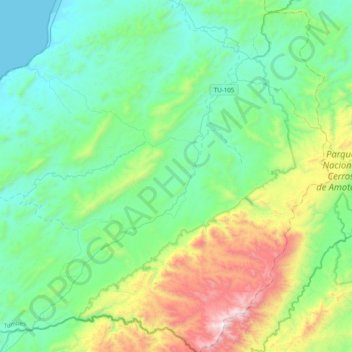
Name: Casitas topographic map, elevation, terrain.
Location: Casitas, Contralmirante Villar, Tumbes, Peru (-4.21519 -80.86155 -3.82289 -80.51518)
Average elevation: 1,237 ft
Minimum elevation: 0 ft
Maximum elevation: 5,187 ft