
Cava topographic map
Interactive map
Click on the map to display elevation.
About this map
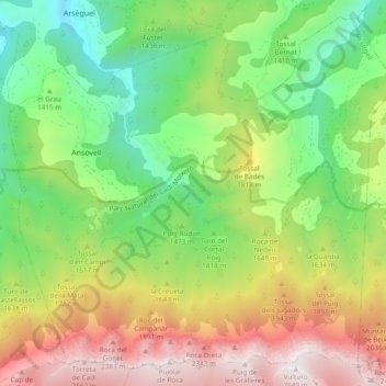
Name: Cava topographic map, elevation, terrain.
Location: Cava, Alt Urgell, Lérida, Catalunha, 25722, Espanha (42.28558 1.56553 42.35005 1.66079)
Average elevation: 5,131 ft
Minimum elevation: 2,661 ft
Maximum elevation: 8,678 ft