
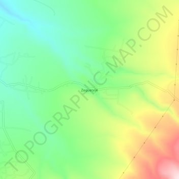
Zequetejé topographic map
Interactive map
Click on the map to display elevation.
About this map
Name: Zequetejé topographic map, elevation, terrain.
Location: Zequetejé, Huichapan, Hidalgo, México (20.35806 -99.61889 20.39806 -99.57889)
Average elevation: 7,228 ft
Minimum elevation: 6,772 ft
Maximum elevation: 7,982 ft