
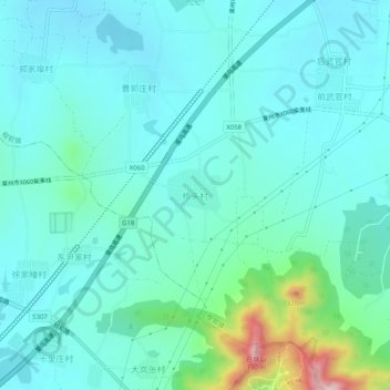
桥头村 topographic map
Interactive map
Click on the map to display elevation.
About this map
Name: 桥头村 topographic map, elevation, terrain.
Location: 桥头村, 烟台市, 山东省, 264000, 中国 (37.15765 119.99822 37.19765 120.03822)
Average elevation: 407 ft
Minimum elevation: 210 ft
Maximum elevation: 1,375 ft