
Lahmar topographic map
Interactive map
Click on the map to display elevation.
About this map
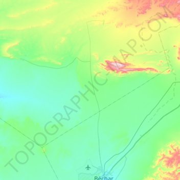
Name: Lahmar topographic map, elevation, terrain.
Location: Lahmar, Daïra de Lahmar, Béchar, Algérie (31.69636 -2.56458 31.99161 -2.02013)
Average elevation: 2,972 ft
Minimum elevation: 2,539 ft
Maximum elevation: 4,813 ft