
Beidha topographic map
Interactive map
Click on the map to display elevation.
About this map
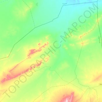
Name: Beidha topographic map, elevation, terrain.
Location: Beidha, Daïra Gueltat Sidi Saâd, Laghouat, 03013, Algérie (34.35805 1.94760 34.69516 2.36843)
Average elevation: 3,406 ft
Minimum elevation: 2,917 ft
Maximum elevation: 4,656 ft