
Bayadha topographic map
Interactive map
Click on the map to display elevation.
About this map
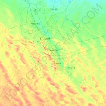
Name: Bayadha topographic map, elevation, terrain.
Location: Bayadha, Daïra Bayadha, El Oued, 39150, Algérie (33.24321 6.83258 33.39451 7.20042)
Average elevation: 282 ft
Minimum elevation: 197 ft
Maximum elevation: 394 ft