
Baril topographic map
Interactive map
Click on the map to display elevation.
About this map
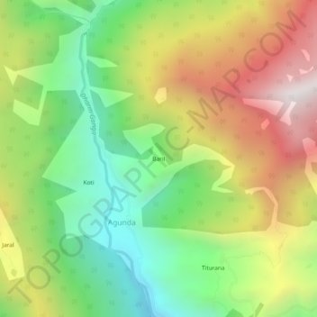
Name: Baril topographic map, elevation, terrain.
Location: Baril, Agunda, Ghansali, Tehri Garhwal, Uttarakhand, India (30.59455 78.62418 30.63455 78.66418)
Average elevation: 6,824 ft
Minimum elevation: 4,708 ft
Maximum elevation: 9,573 ft