
El Rodeo topographic map
Interactive map
Click on the map to display elevation.
About this map
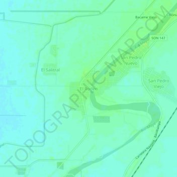
Name: El Rodeo topographic map, elevation, terrain.
Location: El Rodeo, Etchojoa, Sonora, 85281, México (26.99660 -109.66016 27.03660 -109.62016)
Average elevation: 69 ft
Minimum elevation: 56 ft
Maximum elevation: 85 ft