
Dewas topographic map
Interactive map
Click on the map to display elevation.
About this map
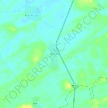
Name: Dewas topographic map, elevation, terrain.
Location: Dewas, Fatehpur Tehsil, Sikar, Rajastán, India (28.03732 74.91541 28.07732 74.95541)
Average elevation: 1,040 ft
Minimum elevation: 1,017 ft
Maximum elevation: 1,093 ft