
keles topographic map
Interactive map
Click on the map to display elevation.
About this map
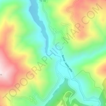
Name: keles topographic map, elevation, terrain.
Location: keles, Bursa, Osmangazi, Bursa, Marmara Region, Turkey (40.08257 28.99889 40.08267 28.99899)
Average elevation: 1,716 ft
Minimum elevation: 1,043 ft
Maximum elevation: 2,733 ft