Setsoto Ward 15 topographic map
Interactive map
Click on the map to display elevation.
About this map
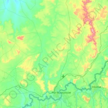
Name: Setsoto Ward 15 topographic map, elevation, terrain.
Average elevation: 5,476 ft
Minimum elevation: 4,839 ft
Maximum elevation: 7,792 ft

Click on the map to display elevation.
Name: Setsoto Ward 15 topographic map, elevation, terrain.
Average elevation: 5,476 ft
Minimum elevation: 4,839 ft
Maximum elevation: 7,792 ft