
Cité topographic map
Interactive map
Click on the map to display elevation.
About this map
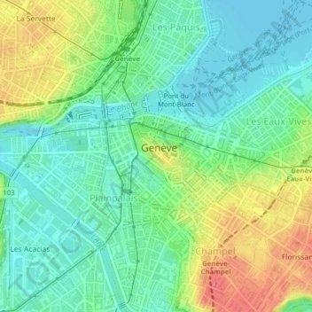
Name: Cité topographic map, elevation, terrain.
Location: Cité, Geneva, 1204, Switzerland (46.19578 6.13896 46.20628 6.15630)
Average elevation: 1,289 ft
Minimum elevation: 1,214 ft
Maximum elevation: 1,427 ft
Other topographic maps
Click on a map to view its topography, its elevation and its terrain.