
Tache topographic map
Interactive map
Click on the map to display elevation.
About this map
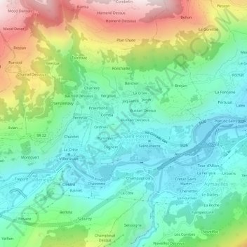
Name: Tache topographic map, elevation, terrain.
Location: Tache, Aosta Valley, 11018, Italy (45.69149 7.20620 45.73149 7.24620)
Average elevation: 3,009 ft
Minimum elevation: 1,985 ft
Maximum elevation: 5,302 ft