

Westouter topographic map
Click on the map to display elevation.
About this map
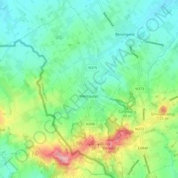
Name: Westouter topographic map, elevation, terrain.
Location: Westouter, Heuvelland, Ieper, West Flanders, Flanders, Belgium (50.77346 2.71302 50.82732 2.77246)
Average elevation: 194 ft
Minimum elevation: 69 ft
Maximum elevation: 495 ft