
Gromolo topographic map
Interactive map
Click on the map to display elevation.
About this map
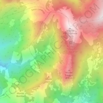
Name: Gromolo topographic map, elevation, terrain.
Location: Gromolo, Casarza Ligure, GE, LIG, Italia (44.31437 9.47187 44.31481 9.47224)
Average elevation: 1,936 ft
Minimum elevation: 679 ft
Maximum elevation: 3,104 ft