
Bishnupur topographic map
Interactive map
Click on the map to display elevation.
About this map
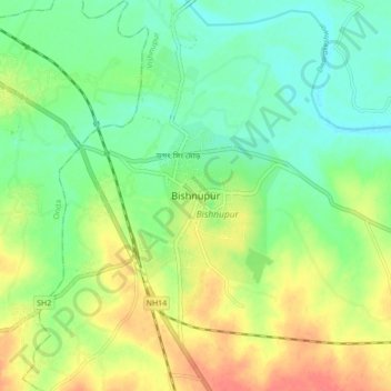
Name: Bishnupur topographic map, elevation, terrain.
Location: Bishnupur, Vishnupur, Bankura, West Bengal, 722122, India (23.03588 87.27465 23.11588 87.35465)
Average elevation: 217 ft
Minimum elevation: 144 ft
Maximum elevation: 318 ft
Bishnupur is located at 23°05′N 87°19′E / 23.08°N 87.32°E / 23.08; 87.32. It has an average elevation of 59 metres (194 feet).