
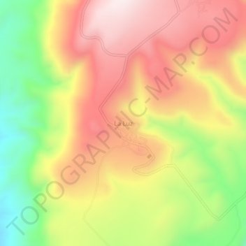
La Luz topographic map
Interactive map
Click on the map to display elevation.
About this map
Name: La Luz topographic map, elevation, terrain.
Location: La Luz, Huanusco, Zacatecas, Mexico (21.78104 -102.89805 21.82104 -102.85805)
Average elevation: 6,243 ft
Minimum elevation: 5,072 ft
Maximum elevation: 7,224 ft