
Rivett topographic map
Interactive map
Click on the map to display elevation.
About this map
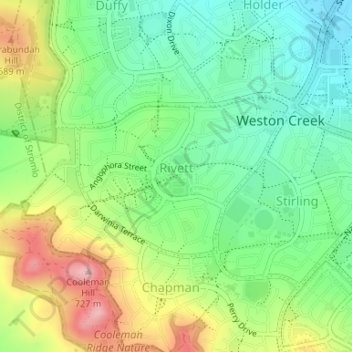
Name: Rivett topographic map, elevation, terrain.
Average elevation: 2,047 ft
Minimum elevation: 1,841 ft
Maximum elevation: 2,379 ft
Other topographic maps
Click on a map to view its topography, its elevation and its terrain.
Duffy
Australia > District of Weston Creek
Duffy, District of Weston Creek, Australian Capital Territory, Australia
Average elevation: 1,991 ft