

els Ports topographic map
Click on the map to display elevation.
About this map
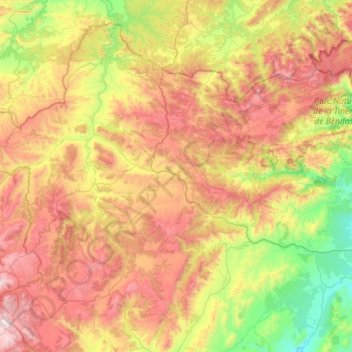
Name: els Ports topographic map, elevation, terrain.
Location: els Ports, Castelló / Castellón, Valencian Community, Spain (40.36703 -0.38151 40.78863 0.18583)
Average elevation: 2,982 ft
Minimum elevation: 784 ft
Maximum elevation: 5,768 ft
Other topographic maps
Click on a map to view its topography, its elevation and its terrain.

la Garrotxa
Spain > Valencian Community > Castelló / Castellón > Cervera del Maestre
Average elevation: 896 ft