
Salher topographic map
Interactive map
Click on the map to display elevation.
About this map
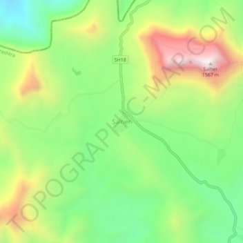
Name: Salher topographic map, elevation, terrain.
Location: Salher, Nashik, Maharashtra, India (20.69282 73.90977 20.73282 73.94977)
Average elevation: 3,350 ft
Minimum elevation: 2,119 ft
Maximum elevation: 5,154 ft